Latest News


Eye of Hurricane Beryl less clearly defined, says Met Office
July 03, 2024
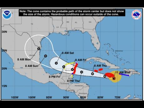
The Met Office says the eye of Hurricane Beryl is not as clearly defined as it previously was and so the system could “wobble” as it approaches the island.
The centre of the Category 4 storm, which the Met Office said remains dangerous, is forecast to pass near or over the island's southern coastline, from east to west, between noon and 8:00 p.m. today.
Rainfall associated with the core of the hurricane is expected to migrate across the island over the next couple of hours.
Heavy rainfall and gusty winds have already been affecting sections of eastern St Thomas.
Rainfall totals of 100-200 millimetres (4-8 inches) are forecast for most areas over the period, with higher amounts in higher elevations.
The Met Office, in its 11 a.m. bulletin, said strong winds, reaching tropical storm force, are expected to reach Jamaica by midday.
These will quickly increase to near hurricane strength as the centre of Beryl remains close to the island throughout the day.
Dangerous storm surges raising water levels by as much as 2-3 metres (6-9 feet), and battering waves will also be generated along coastal areas of the island.
Beryl is moving toward the west-northwest near 30 km/h (18 mph) and this general motion should continue through today, followed by a turn more toward the west tonight or Thursday.
Maximum sustained winds are near 230 km/h (145 mph), with higher gusts.
Some weakening is forecast during the next day or two.
Hurricane-force winds extend outward up to 75 km (45 miles) from the centre and tropical- storm-force winds extend outward up to 295 km (185 miles).
We want to hear from you! Email us at star@gleanerjm.com and follow @thejamaicastar on Instagram and on X @JamaicaStar and on Facebook: @TheJamaicaStar, or on Whatsapp @ 876-550-2506.


